


A recent study published in Geology by researchers at the University of Southampton may have solved one of the Grand Canyon’s greatest mysteries: the “Great Unconformity,” where roughly 1.2 billion years of rock history are completely missing. Scientists propose that about 800 million years ago, during the breakup of the supercontinent Rodinia, a colossal ancient cliff system called a “great escarpment” formed across North America.
Environment Pulse Desk: Geologists have uncovered evidence of a colossal ancient cliff system that once stretched across much of what is now North America, potentially solving one of the Grand Canyon’s greatest mysteries: more than a billion years of missing rock layers.
A new study published in the journal Geology and led by researchers at the University of Southampton proposes that a vast “great escarpment”—towering cliffs roughly a kilometer high and extending thousands of kilometers—formed about 800 million years ago as the supercontinent Rodinia began to break apart.
Over tens of millions of years, intense erosion along this immense rocky boundary stripped away enormous volumes of rock, eventually exposing the ancient crystalline basement rocks visible today deep in the Grand Canyon.
The mystery that has puzzled geologists for over a century centers on a phenomenon known as the Great Unconformity. First noted by explorer John Wesley Powell during his pioneering journey down the Colorado River in 1869, this dramatic gap in Earth’s geological record has fascinated scientists ever since.
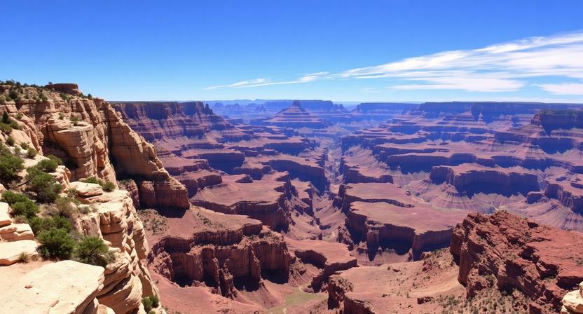
The Grand Canyon preserves a rock record spanning nearly two billion years, yet more than half of that history is completely absent. In places, rocks approximately 1.7 billion years old sit directly beneath layers only about 540 million years old, with roughly 1.2 billion years of intervening history simply missing—as if someone had torn entire pages from Earth’s geological textbook.
“Our paper suggests the Canyon’s basement rocks were progressively brought to the surface as part of an immense escarpment that developed during the breakup of an ancient supercontinent,” said lead author Professor Thomas Gernon of the University of Southampton’s School of Ocean and Earth Science.
“The findings also shed light on the formation of the Great Unconformity, a mysterious gap in the rock record that spans over a billion years.” To arrive at this theory, an international team of researchers—including scientists from the GFZ Helmholtz Centre for Geosciences, the University of Potsdam, and the University of Illinois Urbana-Champaign—employed sophisticated plate tectonic reconstructions and landscape evolution models.
They painstakingly reconstructed the conditions that existed during Rodinia’s fragmentation, the massive breaking apart of this ancient supercontinent. Their research revealed that the region which would eventually become the Grand Canyon occupied a position relative to the continental edge remarkably similar to modern great escarpments visible today in South Africa and Brazil.
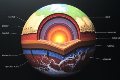
The geological mechanism behind this mega-escarpment is rooted in the dynamics of plate tectonics. As the crust and upper mantle thinned along the rift zones during Rodinia’s breakup, powerful uplift forces created steep slopes and elevated terrain across vast regions.
The resulting “Great Escarpment of Laurentia” is thought to have stretched across areas corresponding to present-day Arizona, Utah, Idaho, Wyoming, Colorado, Texas, Oklahoma, Arkansas, Missouri, and Illinois—spanning an enormous swath of the North American continent.
Over tens of millions of years, intense erosion along this immense rocky boundary stripped away enormous volumes of rock. Erosion gradually wore the cliffs back inland, removing as much as eight kilometers of rock in some places before new sedimentary layers began to accumulate again. This prolonged period of erosion is thought to have exposed the ancient crystalline basement rocks that are visible today deep within the Grand Canyon’s walls—rocks that might otherwise have remained buried kilometers beneath the surface.
This newly proposed tectonic landscape framework helps explain why erosion associated with the Great Unconformity varies so dramatically across the southwestern United States.
The researchers note that tectonic uplift linked to continental rifting provided the mountainous terrain that rivers—and possibly glaciers during ice ages—could readily erode, creating the varied erosion patterns observed across the region.
The modern Grand Canyon itself, however, is a far more recent creation. The Colorado River carved the iconic gorge that attracts millions of visitors today largely within just the past 5–6 million years, a relatively brief moment in geological time.
The newly proposed mega-escarpment, operating roughly a billion years earlier, may have set the stage for this later sculpting by bringing the deepest, oldest rocks close to the surface where they could be more readily eroded by flowing water.
The discovery represents a significant piece in understanding how the breakup of ancient supercontinents reshaped entire continents and left enduring scars still readable in the iconic landscapes we see today. By connecting the dots between Rodinia’s fragmentation and the Grand Canyon’s mysterious missing layers, researchers have illuminated a chapter of Earth’s deep history that had remained stubbornly obscure for more than a century.
Also Read: Whales Are Flocking to Greenland- and It’s a Remarkable Sign of Climate Change